
Good news for Sicamous residents: the air quality today sits at an AQI of 30, firmly in the “Good” range, with some monitoring services reporting an even better “Excellent” reading of 18. If you’ve been checking your weather app or stepping outside with concern after hearing about smoke elsewhere in BC, you can breathe easy right now.
The dominant pollutant currently is ozone at low levels, not the wildfire smoke or particulate matter that typically triggers air quality…
How to Check and Use Calgary’s Air Quality Forecast to Protect Your Health
Checking Calgary’s air quality forecast is as simple as visiting Environment Canada’s Air Quality Health Index page, where you’ll find current readings and a four-day outlook updated twice daily. Right now, the latest forecast for our city was issued Thursday evening (September 17, 2026, at 5:00 PM MDT) and covers conditions through Saturday, giving you a clear window to plan outdoor activities, adjust commutes, or take precautions if you’re in a sensitive health group.
Understanding what those numbers mean can be the difference between a safe morning jog and a day spent wheezing indoors. The AQHI runs on a …
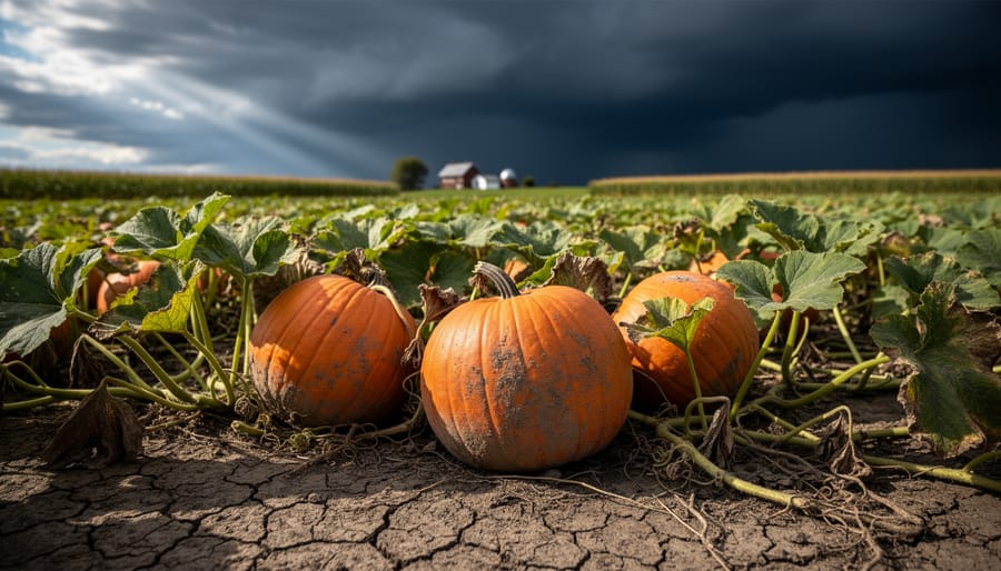
What Is Extreme Weather Doing to Canada’s Pumpkin Crops (and How Does It Work)?
Extreme weather impact on pumpkin crops refers to the disruption of pumpkin production and harvest caused by drought, flooding, heatwaves, and severe storms that damage plants, delay growth, or prevent farmers from accessing their fields. For southern Alberta residents planning fall celebrations and seasonal traditions, understanding how this year’s volatile climate is reshaping pumpkin availability matters because the jack-o’-lanterns and pumpkin pies we count on each autumn depend on stable growing conditions that are becoming increasingly rare across Canada.
According to the National Agroclimate Risk Report released …
Penticton Air Quality News Update: What Changed and What to Watch in 2026
Air quality in Penticton, BC stood at a low-risk level as of yesterday afternoon, with the South Okanagan recording an Air Quality Health Index reading of 2 at 4:00 PM PDT on September 10, 2026. If you’re checking conditions this morning due to visible haze or concern about wildfire smoke, yesterday’s snapshot offers a baseline, but you’ll want to refresh the current readings before heading outdoors.
Wildfire smoke remains the dominant seasonal concern across British Columbia and southern Alberta. Smoke plumes can travel thousands of kilometres from active fire zones, meaning Penticton’s air quality can shift…
How to Use the Lightning Map to Track Storms in Real-Time Across Southern Alberta
When severe weather rolls across Calgary and the southern Alberta foothills, knowing exactly where lightning is striking right now can be the difference between safety and danger. Environment and Climate Change Canada’s Lightning Map gives you real-time tracking of every strike across the province, updating every minute through their interactive Weather Information map and the WeatherCAN app. You can access it in seconds on any device, toggle the lightning layer on or off, and watch a one-hour animation loop that shows where strikes have occurred in six-minute intervals.
Key Takeaway: …
How This Media Bias Chart Reveals Where Your News Really Stands
The Ad Fontes Media Bias Chart is an interactive tool that plots hundreds of news sources on a visual grid, rating them for both political bias (from -42 to +42 on the horizontal axis) and reliability (from 0 to 64 on the vertical axis). Created by Ad Fontes Media, this chart offers something most of us desperately need: a systematic way to figure out which news sources we can actually trust and where they lean politically.
Here’s what makes this tool different from casual opinion. A team of over 40 trained analysts, representing diverse political viewpoints, rates individual articles and episodes using a careful methodology. …