

Invermere residents checking air quality right now can find real-time readings through Environment and Climate Change Canada’s Air Quality Health Index, which rates conditions on a scale of 1 to 10 and provides forecasts for planning outdoor activities safely. The AQHI translates complex pollution measurements into simple health risk categories, from low risk (1-3) to very high risk (10+), making it easy to decide whether it’s safe to go for that mountain bike ride or if the kids should…


How to Check Calgary’s Air Quality Forecast Before Heading Outdoors
Checking Calgary’s air quality forecast takes about two minutes and requires nothing more than a web browser or smartphone. Visit the city’s Air Quality Health Index (AQHI) page, where you’ll find current conditions and forecast maximums updated daily at 5:00 PM MDT, showing predicted air quality levels for the next 72 hours across four periods: tonight, tomorrow, tomorrow night, and the day after.
Key Takeaway: Calgary’s AQHI page provides a simple three-step check: view the forecast maximums table, note the numbered risk level (1-10+), and match it to the health …

How to Use Okotoks Weather Radar to Track Storms in Real-Time
When you need to know whether that dark cloud rolling in from the west is about to drench your afternoon plans or just passing by, Okotoks weather radar gives you the answer in real time. Accessing live radar maps through Environment Canada or AccuWeather takes less than a minute and shows you exactly where precipitation is falling, what type it is (rain, snow, or ice), and which direction it’s moving across southern Alberta.
Key Takeaway: Real-time radar lets you see precipitation type, location, and movement to make informed weather decisions, whether you’re planning your commute…
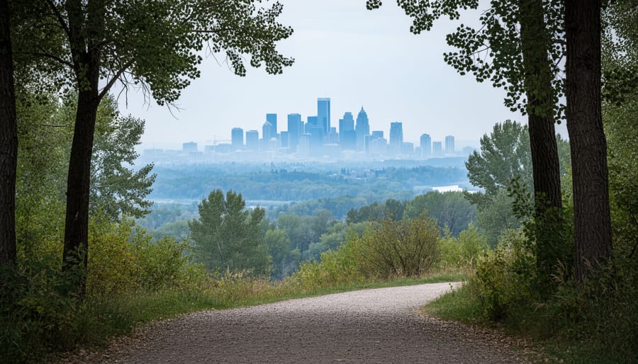
Calgary Air Quality Forecast: How to Check Today’s AQHI and What the Numbers Mean
Calgary’s air quality forecast is available through Environment and Climate Change Canada’s Air Quality Health Index system, which delivers 24-hour predictions on a 1-10+ scale to help you plan outdoor activities and protect your health. The AQHI translates complex air pollution data into four simple risk categories: low (1-3), moderate (4-6), high (7-10), and very high (10+), giving you an instant snapshot of whether it’s safe to exercise outside, keep the kids at the playground, or adjust your daily routine.
For most of the year, Calgary enjoys low-risk air quality thanks to its prairie winds and elevation, but …
Air Quality Ontario News Update: What Changed and What to Watch in 2026
Ontario’s air quality is in the low-risk range across all major monitoring stations as of 8:00 pm EDT on August 16, 2026, according to Environment and Climate Change Canada’s Air Quality Health Index. Readings from Barrie to Windsor, Ottawa to Grand Bend show AQHI values well within safe parameters, meaning no immediate health precautions are needed for most residents.
For Albertans, this matters more than you might think. When Ontario experiences wildfire smoke or air quality degradation, it often signals broader atmospheric patterns moving west. The AQHI scale runs from 1 to 10+, with current Ontario readings clustered…

Lake Louise Air Quality News Update: What Changed and What to Watch in 2026
Lake Louise is currently under a yellow air quality warning due to smoke affecting Banff National Park, and visitors need to know what that means for their plans. Environment Canada issued the alert Tuesday afternoon, August 11, 2026, at 3:56 PM MDT, warning that smoke is reducing visibility and creating health risks for anyone spending time outdoors at this iconic mountain destination.
If you’re planning a trip from Calgary or already on your way, here’s what you need to understand: the air quality is safe enough that the park remains open, but you should limit your time outside and consider cutting back on strenuous …
Edmonton Air Quality News Update: What Changed and What to Watch in 2026
Edmonton’s air quality was a reassuring 3 on the Air Quality Health Index as of 5:00 PM MDT Monday, August 10, 2026. That’s a Low Risk reading, meaning most southern Alberta residents can enjoy outdoor activities without concern. For Calgarians keeping tabs on regional air patterns, this update matters because Edmonton’s readings often signal what’s headed south, and understanding the Index helps you plan outdoor time, exercise routines, and protect vulnerable family members when conditions shift.
The Air Quality Health Index tracks three key pollutants: fine particulate matter (PM2.5), nitrogen dioxide (NO2…
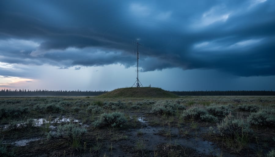
Weather Radar Grande Prairie: How to Access Real-Time Data for Northern Alberta
Weather radar for Grande Prairie is available through Environment and Climate Change Canada’s national network, giving you real-time precipitation tracking and storm movement data within seconds of opening their online radar map. The Canadian weather radar system covers Grande Prairie and the Peace Region with Doppler technology that reaches out 240 kilometers, letting you see exactly where rain, snow, or severe weather is heading and how quickly it’s moving.
For most people checking the radar, the process is simple. You visit Environment and Climate Change Canada’s Weather Information site, search for Grande …

Guide to Environment Canada Toronto: Weather Alerts, Air Quality Tools, and Local Tips
Environment Canada’s Toronto weather service delivers precise, hyperlocal forecasts, current conditions, and air quality readings through, giving you the official data you need to plan your day with confidence. Right now, Toronto’s Air Quality Health Index sits at a moderate risk level of 4, calculated early this morning and holding steady through the weekend, so outdoor plans are safe for most people but worth monitoring if you have respiratory sensitivities.
Unlike commercial weather apps that aggregate data from multiple sources, Environment Canada operates the actual weather stations across the Greater Toronto Area …
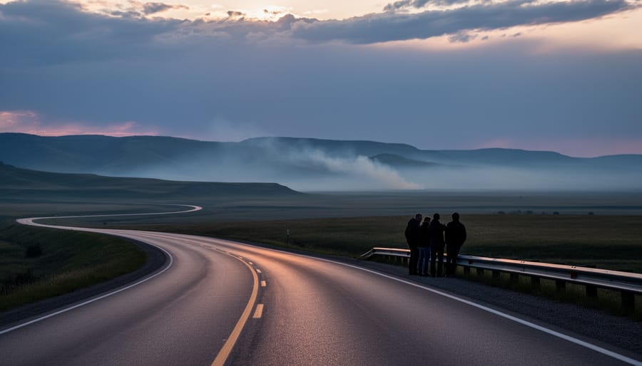
Air Quality Radar Maps Show Real-Time Smoke and Pollution Across Southern Alberta
Air quality radar maps show real-time and forecasted levels of pollutants like wildfire smoke, fine particulate matter (PM2.5), ground-level ozone, and nitrogen dioxide across southern Alberta and the rest of Canada. Environment and Climate Change Canada generates these forecast maps twice daily, giving you a 72-hour window to see how smoke and air pollutants will move and evolve across North America. During wildfire season, these tools transform from nice-to-have resources into essential planning aids for anyone with respiratory …