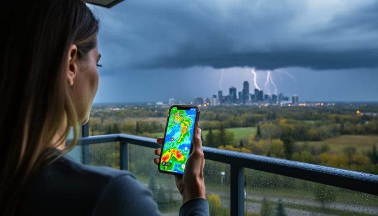
When you need to know whether that dark cloud rolling in from the west is about to drench your afternoon plans or just passing by, Okotoks weather radar gives you the answer in real time. Accessing live radar maps through Environment Canada or AccuWeather takes less than a minute and shows you exactly where precipitation is falling, what type it is (rain, snow, or ice), and which direction it’s moving across southern Alberta.
The difference between checking a forecast and watching live radar is the difference between reading about a storm and actually seeing it approach your neighbourhood. Environment Canada provides the official radar data for our region, and their maps update every few minutes to track weather systems as they develop. You’ll find tabs for weather radar, satellite imagery, and lightning activity right on their Okotoks forecast page, giving you multiple ways to confirm what’s headed your way.
Understanding how to read these radar maps properly matters just as much as accessing them. That bright green blob on the screen tells you more than just “it’s raining somewhere.” The colour intensity shows precipitation strength, the shape reveals whether you’re looking at a quick shower or an organized system, and the animation shows speed and direction. But radar has blind spots and limitations that can catch you off guard if you rely on it alone, especially in the foothills where terrain affects coverage.
In the next few minutes, you’ll learn exactly how to pull up Okotoks radar on multiple platforms, interpret what those colours and patterns actually mean for your specific location, and cross-check radar data with other tools to make smart weather decisions today.
What You Need to Access Okotoks Weather Radar
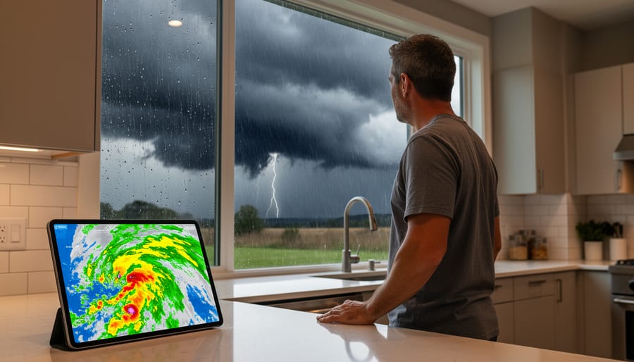
Accessing Okotoks weather radar requires nothing more than an internet connection and a device you likely already own. A computer, tablet, or smartphone with a standard web browser gives you everything you need to pull up live radar imagery and track precipitation moving across southern Alberta. The technical barrier is low, but knowing which radar sources to use makes all the difference between guessing and understanding what’s heading your way.
The primary source for Canadian weather radar is Environment Canada, which provides official radar maps and animations for the entire country. However, several other services aggregate and display this data in different formats, each with its own strengths:
- Environment Canada, Official radar maps, animations, satellite imagery, lightning tracking, UV index, and AQHI data
- AccuWeather, Shows precipitation location, type (rain, snow, ice), and recent movement for Okotoks
- Interactive radar map with zoom and playback features
- OkotoksOnline, Local aggregator using Environment Canada radar information
You don’t need specialized apps or subscriptions. Opening any of these sites in your browser gives you immediate access to current radar data. The best weather radar tools for southern Alberta pull from the same Environment Canada feed, so choosing between them often comes down to personal preference for layout and features. Some display cleaner maps, others offer better animation controls, and a few include additional layers like lightning strikes or satellite views alongside the radar.
The key is bookmarking one or two sources you find easy to read, then learning how to interpret what they show you.
Understanding Weather Radar Limitations and Conditions
Weather radar is a powerful tool for tracking precipitation, but it comes with important limitations you need to understand before relying on it for decision-making. The radar detects moisture in the atmosphere several kilometers above ground, not necessarily what’s falling on your street. Sometimes virga precipitation not reaching ground evaporates before it hits the surface, especially during dry summer conditions in southern Alberta. What you see on the radar map might disappear by the time it reaches Okotoks.
Timing is another crucial consideration. While radar image updates every six minutes there’s typically a processing delay between data collection and display. Fast-moving storms can advance several kilometers during that gap, so what you’re viewing is always slightly outdated. Additionally, limitations of radar coverage mean certain areas may show gaps or reduced accuracy, particularly in mountainous terrain west of Okotoks.
During rapidly changing conditions like summer thunderstorms or winter blizzards, don’t rely on radar alone. Combine what you see on the radar with current conditions, hourly forecasts, and official alerts. If Environment Canada issues a severe weather warning, follow tornado warning steps or other safety protocols immediately, regardless of what the radar appears to show. The radar tells you where precipitation is now, not what’s developing or how intense conditions will become.
Step-by-Step: How to Read and Use the Okotoks Weather Radar
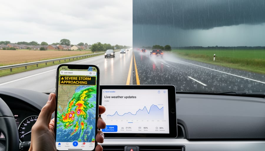
Opening the Radar Page
Start by searching “Okotoks weather radar” in your preferred search engine, then look for results from Environment Canada, the official source for Canadian weather data. The Government of Canada’s weather site typically appears near the top of results and will take you to the Okotoks forecast page.
Once you’re on Environment Canada’s Okotoks page, you’ll see several tabs at the top: Past Data, Weather Radar, Satellite, and Lightning. Click the “Weather Radar” tab to pull up the live radar map. This is where you’ll see the current precipitation picture for southern Alberta, with Okotoks and surrounding areas displayed.
If Environment Canada’s site is slow or unavailable, alternative sources like AccuWeather, and OkotoksOnline also host radar maps for Okotoks. These services pull radar information from Environment Canada but often present it with different interfaces. AccuWeather and both offer interactive radar maps specific to Okotoks, Alberta, which you can zoom and pan to focus on your neighborhood or the broader region.
Bookmark whichever radar page loads fastest on your device. You’ll return to it often when storms approach.
Reading the Radar Map
The radar map displays precipitation using a color-coded system that tells you what’s happening in the atmosphere above Okotoks. Typically, green and yellow indicate light to moderate rain or snow, while orange and red show heavier precipitation. Deep reds and purples signal intense downpours or snowfall that can affect visibility and road conditions.
Environment Canada’s radar shows precipitation type alongside intensity. Rain appears as one color pattern, snow as another, and mixed precipitation gets its own designation. When you see multiple colors on the same map, you’re looking at different intensities or types falling across the coverage area. The radar map for Okotoks captures a wide view of southern Alberta, letting you see whether storms are isolated or part of a larger system.
Pay attention to the shape and spread of colored areas. A small, concentrated blob means localized showers. Broad swaths of color stretching across the map indicate widespread precipitation affecting multiple communities. The radar detects what’s falling aloft, which matters because precipitation can evaporate before reaching the ground, especially in Alberta’s dry conditions.
Distinguishing between rain, snow, and freezing rain comes down to checking both the radar’s precipitation-type indicator and current temperature reports. If temperatures sit below zero and the radar shows precipitation, expect snow. Near-freezing temps with precipitation often mean tricky mixed conditions requiring extra caution.
Tracking Storm Movement
Once you’ve identified precipitation on the radar map, the real power comes from watching how it moves. Most radar pages offer an animation or loop feature, look for a play button, timeline slider, or “animate” option. Click it to see the last hour or two of radar snapshots play in sequence. This reveals where storms have traveled from and helps you estimate where they’re heading next.
Pay attention to the direction: if bands of rain or snow are consistently moving southwest to northeast, that’s your clue for what’s coming. Watch the speed, too. Fast-moving cells might sweep through Okotoks in under an hour, while slow, sprawling systems could linger for hours. The animation shows gaps between cells as well, so you’ll know if there’s a break in the weather before the next wave arrives.
Southern Alberta weather can shift quickly, especially when storms roll off the foothills. Use the animation to spot whether precipitation is intensifying, weakening, or breaking apart. If you see a heavy cell approaching but it’s already fragmenting on the loop, you might dodge the worst of it. Conversely, if echoes are growing and tightening, prepare for heavier conditions. Animation turns a static snapshot into a forecast tool you control.
Confirming What the Radar Is Telling You
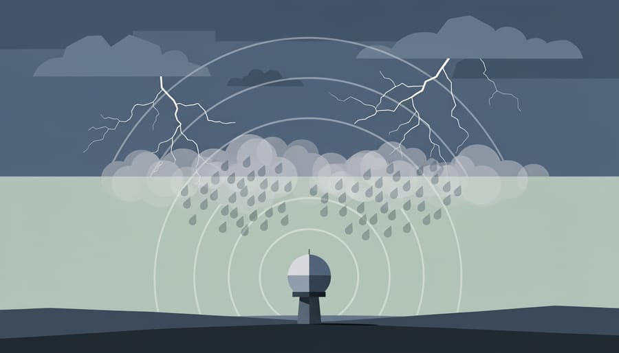
Radar shows you one piece of the weather puzzle, but you’ll make better decisions when you cross-check what you see on the map with other data sources. After spotting precipitation on the Okotoks radar, open Environment Canada’s forecast page for the town and compare the radar image to the current conditions report and the hourly forecast. If the radar shows light rain approaching but the forecast calls for heavy thunderstorms in the next hour, prepare for the more severe scenario. Discrepancies like that often mean conditions are evolving faster than the radar updates.
Environment Canada’s site gives you several tools beyond radar to build a complete weather picture:
- Current conditions, ground truth for temperature, wind, and precipitation type actually falling
- Hourly forecast, predicted conditions for the next 24 hours
- Satellite imagery, cloud cover and storm structure from above
- Lightning activity, real-time strikes indicating thunderstorm intensity
- Tropical storm tracking, large-scale system movements (rare for Alberta but available)
- UV index, sun exposure risk when skies clear
- AQHI (Air Quality Health Index), pollution and smoke levels affecting outdoor safety
On high-pollution days, you might check AQHI alongside radar to decide whether outdoor activities are safe even if rain has passed.
Take action when radar and forecasts align on severe weather. If you see intense red or purple echoes moving toward Okotoks and Environment Canada has issued a thunderstorm or tornado warning, that’s your cue to seek shelter and stay off the roads. For routine rain or snow, radar helps you time a commute or errand. The key is treating radar as your early-warning system, then confirming next steps with official forecasts and alerts before you commit to a plan.
Common Questions About Okotoks Weather Radar
What does the Okotoks weather radar actually show?
The radar displays the location of precipitation, its type (rain, snow, or ice), and its recent movement across the area. It detects precipitation aloft, which means it’s measuring moisture in the atmosphere above ground level rather than what’s necessarily reaching the surface.
How often is the radar updated?
Environment Canada updates radar imagery every 10 minutes, though there can be brief delays in processing and publishing the data. You’ll see the timestamp on the radar map showing when the image was captured, so always check that you’re looking at recent information.
Can I see future weather on the radar?
No, radar only shows current and past precipitation. You can use the animation feature to watch how storms have been moving, which helps you anticipate where they’re headed, but radar doesn’t predict or forecast future weather, that’s what the hourly forecast is for.
Why doesn’t the radar match what I see outside my window?
Radar detects precipitation in the air, which can evaporate before hitting the ground, especially in southern Alberta’s dry climate. There’s also a time lag between the radar scan and when you view it, plus radar can miss very light drizzle or snow that’s too fine to register on the system.
These questions come up constantly because radar can feel confusing when you’re first learning to use it. The key thing to remember is that radar gives you one piece of the weather puzzle, not the complete picture. When you combine what the radar shows with current conditions from your weather app and the hourly forecast, you get a much clearer sense of what’s actually happening and what to expect in the next few hours.
If you notice a big difference between radar and reality, say the radar shows heavy precipitation but your backyard is dry, check the radar animation to see if the storm shifted direction, look at the timestamp to confirm you’re viewing current data, and read the forecast discussion to see if meteorologists have noted any unusual conditions like virga (rain evaporating before reaching ground). That’s when radar becomes a tool for understanding weather behavior, not just a simple yes-or-no answer about whether it’s raining.
Tracking storms as they happen gives you the edge you need to make smart decisions, whether you’re planning your drive home or deciding if it’s safe to head out for errands. By bookmarking Environment Canada’s radar page and checking it alongside current forecasts and weather alerts, you’ll have a complete picture of what’s coming your way. The radar shows you where precipitation is right now and where it’s headed, but it works best when you combine it with other tools like satellite imagery, lightning tracking, and official warnings. Don’t just watch the sky and hope for the best, use the radar to stay ahead of southern Alberta’s unpredictable weather. Have questions or tips about reading the Okotoks radar? Join the conversation and share your experiences with the Calgary Now community in the comments below.