Calgary’s weather radar is your most reliable tool for tracking precipitation, storms, and severe weather as it moves across the city and surrounding areas. The live radar feed updates every few minutes, showing exactly where rain, hail, or snow is falling right now and which direction the system is headed. You can access it instantly through Environment Canada’s weather page or several mobile apps designed for Alberta conditions.
When dark clouds roll in or you hear a storm warning on Calgary breaking updates radar becomes essential. The imagery translates complex meteorological data into color-coded maps anyone can read. Green typically indicates light rain, yellow shows moderate precipitation, and red or purple signals heavy downpours or hail. During Calgary’s notorious summer thunderstorm season and unpredictable Chinook-influenced winters, checking radar before you leave home or planning outdoor activities can save you from getting caught in dangerous conditions.
The radar loop function is particularly valuable here. Rather than viewing a single snapshot, you’ll watch the past hour or two of weather movement, giving you a clear sense of timing. Is that cell going to hit your neighborhood in ten minutes or bypass you entirely? Radar answers that question when forecast text alone falls short.
What Calgary Weather Radar Actually Shows You
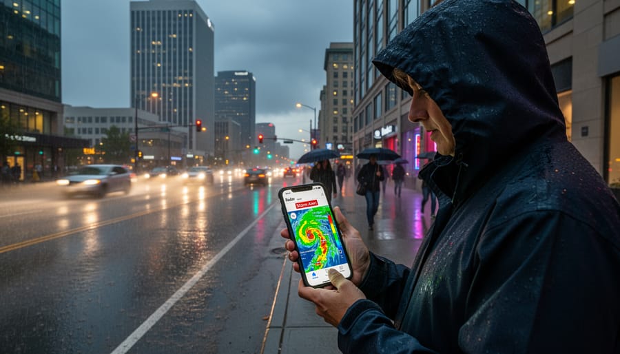
When you pull up Calgary’s weather radar, you’re looking at a real-time snapshot of what’s actually falling from the sky right now and where it’s moving. The radar map displays precipitation location across southern Alberta, showing exactly which neighborhoods are getting hit and which areas remain clear. You’ll see different colors representing intensity, light drizzle appears as pale green or blue, while heavier rain and snow show up in darker greens, yellows, and oranges.
The radar distinguishes between precipitation types, marking rain, snow, and ice differently on the display. This matters when you’re deciding whether to grab an umbrella or clear your driveway. The Environment Canada interactive radar lets you see these patterns unfold across the city, with loop animations showing recent movement so you can track which direction a storm system is traveling.
Recent movement patterns are where radar becomes genuinely useful for planning. By watching how a precipitation band has shifted over the past hour, you can estimate when it might reach your area or when it’s likely to clear out. The radar picks up moisture in the atmosphere and translates it into visual data, giving you a clearer picture than looking out your window. As Using and understanding Doppler radar explains, these systems detect precipitation particles and their motion relative to the radar site.
What you won’t see on basic radar imagery is temperature, wind speed at ground level, or specific details about storm severity, those require layering in additional weather data alongside the radar display.
Where to Access Calgary’s Live Radar Right Now
Environment Canada’s Official Radar System
Environment Canada’s weather platform sits at the heart of Calgary’s official storm tracking system. When you pull up their interactive map, you’re not just getting radar, you’re accessing the same data meteorologists use to issue warnings and forecasts across southern Alberta.
The platform layers radar imagery over current conditions, warnings, and forecasts all in one view. You can toggle between Weather hazards layers with radar to see exactly where precipitation is falling right now, then check lightning activity if thunderstorms are rolling through the foothills. The UV index and Air Quality Health Index (AQHI) sit alongside radar data, giving you a complete picture of outdoor conditions rather than just precipitation patterns.
What makes this system particularly useful for Calgary residents is how it connects radar imagery to official warnings. When Environment Canada issues a severe thunderstorm watch or winter storm warning, you can immediately see the system responsible on the same platform. The radar shows precipitation location, type, whether you’re dealing with rain, snow, or ice, and recent movement, so you can judge whether that cell near Cochrane is headed downtown or tracking north toward Airdrie.
Alternative Radar Sources for Cross-Reference
While Environment Canada’s radar serves as the primary source for most Calgarians, cross-checking with additional platforms can give you a fuller picture when storms are moving through. WeatherBug operates its own live weather radar for Calgary, often with slightly different display options that some residents find easier to read at a glance. The interface typically emphasizes storm cell tracking and movement animations, which can help you visualize whether a system is heading directly for your neighborhood or sliding past to the south.
AccuWeather’s Canada Weather page includes Calgary weather conditions with radar imagery that layers in forecast models alongside current precipitation. This combination view lets you see not just where rain or snow is falling now, but where the system is projected to move in the next few hours. Some Calgarians prefer AccuWeather’s color schemes or find their mobile experience more responsive during active weather events.
Neither WeatherBug nor AccuWeather replaces official Environment Canada data for warnings and watches, but they’re useful for getting a second perspective on storm intensity and movement patterns. When radar shows a severe line approaching from the west, checking multiple sources helps confirm what you’re seeing and gives you confidence in your decisions about whether to delay that drive or bring the patio furniture inside.

Reading the Radar: What Those Colors Really Mean
The colors on Calgary’s weather radar aren’t arbitrary, they represent precipitation intensity, with each shade telling you something specific about what’s falling from the sky and how hard. While different radar systems use slight variations, the basic principle stays consistent: cooler colors mean lighter precipitation, warmer colors indicate heavier stuff.
Most Calgary radar displays follow a standard progression. Light green shows drizzle or light rain that might not even wet the pavement thoroughly. As the colors shift through darker greens and yellows, you’re looking at moderate rainfall, the kind that requires windshield wipers but won’t flood storm drains. When you see orange and red patches, that’s heavy precipitation moving through, whether it’s a downpour in summer or significant snowfall in winter. Some radar systems extend into magenta or purple for extreme precipitation, though Calgary doesn’t see these intense radar signatures as often as thunderstorm-prone regions farther east.
- Light Green/Blue
- Indicates light precipitation like drizzle or flurries that may barely dampen surfaces. You might not need an umbrella, but conditions could make roads slick in winter.
- Yellow/Dark Green
- Shows moderate rain or steady snowfall requiring proper rain gear or winter driving caution. This is typical precipitation that affects visibility and road conditions noticeably.
- Orange/Red
- Represents heavy precipitation, intense rainfall, heavy snow, or mixed conditions that significantly impact driving and outdoor activities. Plan for delays and reduced visibility.
- Magenta/Purple
- Marks extreme precipitation rates, often associated with severe thunderstorms or exceptionally heavy snow bands. These are “stay off the roads if possible” conditions.
Movement matters as much as color. Watch how the colored patches shift across the radar loop, if that orange blob is tracking northeast toward your neighborhood, you’ve got about ten to twenty minutes to finish outdoor tasks or delay your drive. The shape of precipitation areas also provides clues: a narrow, elongated band often means a quick-moving system that will pass within an hour, while broad, circular patches suggest rain or snow that will linger for hours.
Winter complicates radar interpretation because the system can’t always distinguish between rain, freezing rain, and snow. A green patch in January doesn’t mean light conditions, it could represent steady snowfall that radar underestimates because snow reflects signals differently than rain. Calgary residents learn to cross-reference radar colors with the current temperature and Environment Canada’s precipitation-type forecasts rather than trusting radar intensity alone during cold months.
When Radar Matters Most in Calgary
You’re not checking radar just for fun, there are specific moments when pulling it up can genuinely affect your day or your safety. During Calgary’s intense summer thunderstorms, those towering cells can roll in fast. If dark clouds are building and you’re wondering whether to stay safe in heat indoors or risk being caught outside, radar shows you exactly where the heaviest rain is and whether it’s tracking toward your neighborhood.
Winter brings a different urgency. When snow starts falling during morning rush hour, a quick look at radar tells you if it’s a brief squall or the leading edge of a system that’ll dump snow for hours. That changes your commute planning whether you leave early, work from home, or brace for slow highways.
Severe weather warnings are the big one. When Environment Canada issues a tornado watch or severe thunderstorm warning, Radar for warnings and forecasts becomes essential. You can see the storm’s structure, track its path, and make informed decisions about seeking shelter or delaying travel. That’s not paranoia; that’s practical safety for you and your family.
Even routine decisions, taking the dog out, heading to a job site, planning an evening run, benefit from a radar check when conditions look iffy. Five minutes of monitoring can save you from getting soaked or worse.
Beyond the Radar: What Else You Need to Know
Weather radar gives you the big picture, but Environment Canada’s platform offers a full suite of tools to keep you ahead of the weather. Radar outages and network status updates let you know when the Calgary radar site is down for maintenance or technical issues, crucial information when you’re tracking an active storm and suddenly lose imagery. The radar network status page shows which sites across southern Alberta are operational at any given time, so you can switch to nearby stations if Calgary’s feed temporarily drops.
For those who want to dig deeper, Environment Canada’s radar overview and interpretation guides explain the technical side of what you’re seeing on screen. These resources break down beam height, ground clutter, and why radar sometimes misses light precipitation or shows false echoes. Understanding these limitations helps you read the imagery more accurately, especially during complex weather events.
When you spot something developing on the radar, give Calgary Now a call during our afternoon drive show, we want to hear what’s happening in your neighbourhood as the system moves through.
Your real-time observations from across the city add ground truth to the radar picture. Whether it’s the first snowflakes hitting your windshield in Airdrie or hail bouncing off your deck in Okotoks, sharing those details creates a complete weather story for the entire southern Alberta community. The radar shows where precipitation is, but you tell us what it actually feels like when it arrives.
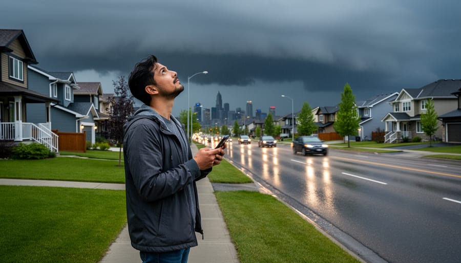
Weather radar isn’t just about satisfying curiosity, it’s about making smarter decisions when Calgary’s weather turns unpredictable. Whether you’re heading out for the evening commute, planning weekend activities in the foothills, or keeping an eye on a system that could affect your community, a quick radar check gives you the information you need right now.
The beauty of radar monitoring is that it puts you in control. You’re not waiting for the next forecast update or relying on outdated information. You’re seeing precipitation as it moves, letting you adjust your plans accordingly.
We want to hear from you during these active weather events. If you’re tracking a storm system, noticing unexpected conditions in your neighborhood, or watching radar while listening to Calgary Now, call in and share what you’re seeing. Your real-time observations from across southern Alberta help paint a fuller picture for our entire community. When weather matters most, we’re all meteorologists watching the same radar, and your perspective adds to the conversation. Check that radar, stay informed, and keep us posted on what’s happening in your corner of Calgary.