Category: Calgary Infrastructure & Growth

Coverage of major construction, transportation, and civic development across Calgary and southern Alberta, including project timelines, traffic impacts, funding, and community response.

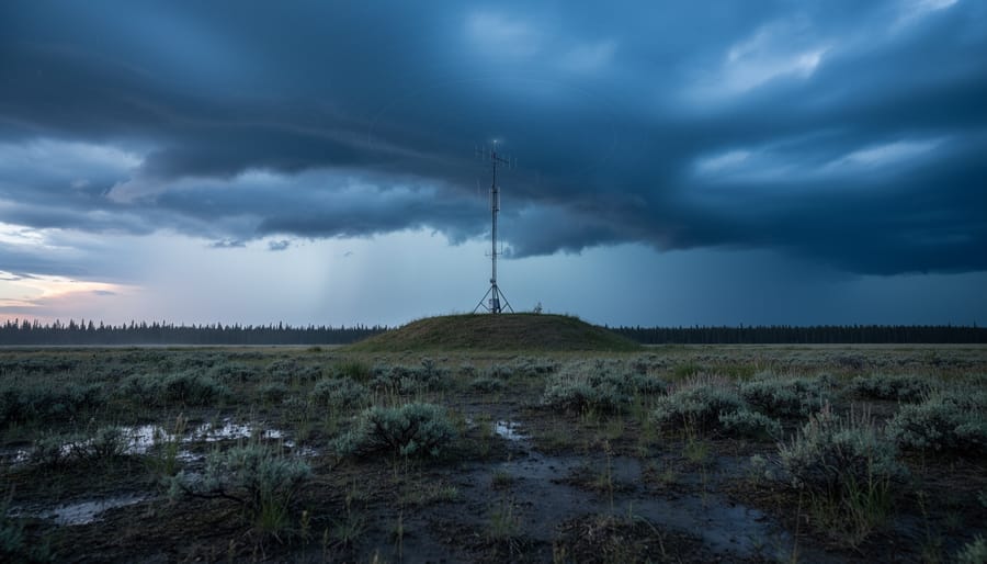
On July 25, 2026, Yellowhead County residents faced a rapidly evolving severe weather event that escalated from a tornado warning to intense thunderstorm conditions capable of producing baseball-sized hail. The storm, tracked just west of Entwistle at 7:43 p.m. MT and moving east at 45 km/h, brought damaging winds and the threat of intense rainfall to areas southeast of Hinton, including communities near Cadomin and Robb.
For southern Alberta residents, this event serves as a timely reminder that extreme weather doesn’t respect municipal boundaries. Highway 16 connects Calgary to Yellowhead County, making these conditions …

Tracking Quebec City weather from Calgary takes about two minutes once you know which radar platform to use and how to interpret the color-coded precipitation zones. Environment and Climate Change Canada’s interactive weather map is your most reliable tool, offering real-time radar, satellite imagery, lightning strikes, and jet stream data as selectable layers over Quebec’s region. The system updates continuously, letting you monitor storms as they develop across eastern Canada whether you’re planning a business trip, tracking weather that might affect family in Quebec, or just curious about the current conditions 3,000 …

If you’ve just received a tornado warning alert on your phone or heard it on the radio, here’s what you need to do right now: get to the lowest floor of a sturdy building, move into an interior room away from windows, and stay there until the warning lifts. A tornado warning means Environment and Climate Change Canada has confirmed a tornado is already happening or will strike within minutes, either through direct sighting or weather radar detection.
This isn’t a drill or a heads-up that conditions look bad. That’s what a tornado watch covers. A warning is the real deal, and southern Alberta sees these alerts…

Montreal’s air quality is currently good, with the Air Quality Health Index sitting at a low-risk level of 3 as of Saturday evening. If you’ve been checking conditions ahead of travel plans or managing health concerns, you can breathe easier knowing the city’s monitoring systems show favorable conditions through the weekend, with only a slight uptick to moderate risk expected Sunday and Monday.
For those of us in southern Alberta familiar with wildfire smoke alerts and the sudden scramble to check air quality apps, Montreal’s situation offers an interesting contrast. The city relies on a coordinated network …

Cold Lake’s weather radar station, located at Canadian Forces Base Cold Lake in northeastern Alberta, gives you real-time precipitation and storm tracking data that often signals what southern Alberta can expect 12 to 24 hours later as weather systems push south and east. You can access this radar through Environment Canada’s weather page for Cold Lake, where a dedicated Weather Radar tab shows current conditions alongside standard forecasts. The station sits roughly 300 kilometers north of Calgary, positioned to catch incoming Pacific systems and Arctic fronts before they reach the populated corridor.

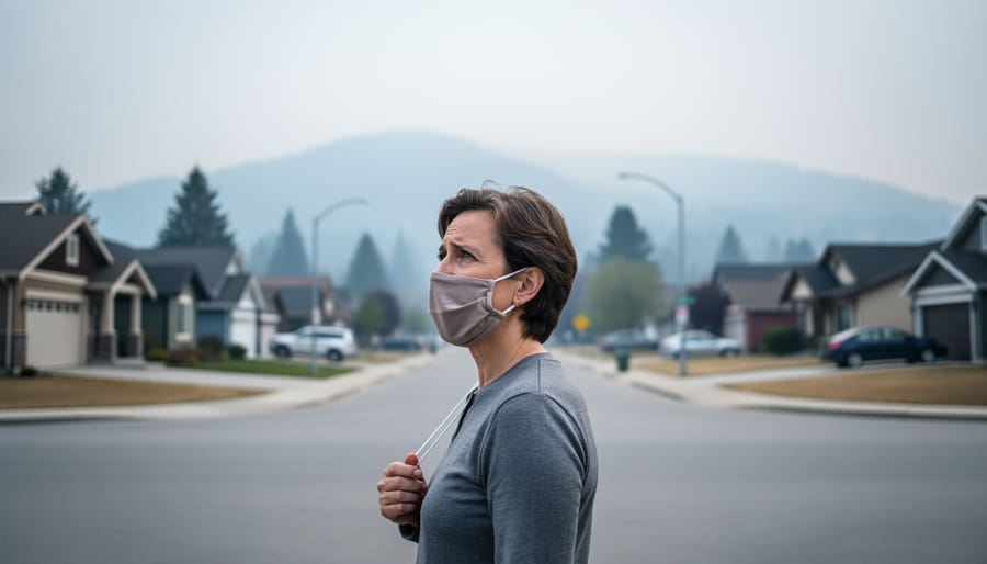
Brampton residents checking air quality today will find conditions ranging from low to moderate risk, with the current Air Quality Health Index sitting at 3 as of July 21, 2026. While that’s good news for outdoor plans right now, it’s a marked improvement from just last week when Peel Public Health issued an air quality warning on July 15 after smoke from forest fires in Northwestern Ontario pushed pollution levels higher and reduced visibility across the region.
Understanding what drives these fluctuations matters if you live here. Wildfire smoke can travel hundreds of kilometers, turning a clear summer day hazy within …

WXYZ is Detroit’s Channel 7 ABC affiliate, and its weather radar covers southeastern Michigan and parts of southwestern Ontario. If you’ve stumbled across WXYZ weather radar while searching for local conditions in southern Alberta, you’re not alone. Recent search trends show a surprising number of people in our region looking up this Detroit-based service, likely because they’re planning cross-border travel, have family in the Great Lakes area, or are simply curious about how radar systems compare across North America.
Here’s what you need to know: WXYZ weather radar won’t help you track storms …

Beulah, North Dakota sits about 120 miles south of the Alberta border, and its weather radar covers a critical blind spot for southern Albertans tracking storms before they cross into Canada. If you’re planning a road trip to the States or watching a system move north from Montana, the Beulah radar gives you a 90-minute advance warning that local Alberta stations sometimes miss.
You’ll find the Beulah radar through NOAA’s site or popular apps like RadarScope and Weather Underground. The station uses NEXRAD technology, the same system that powers Canadian radars, scanning in 360-degree sweeps every few minutes to …

When storms roll across the prairies or you need to know if that dark cloud is dropping rain on your fields, real-time weather radar for Strathmore gives you the precise precipitation data you need right now. Southern Alberta’s weather can shift fast, and whether you’re managing crops, planning an outdoor event, or just deciding if you need to bring in the patio furniture, radar tools show you exactly where rain, hail, and snow are moving and how soon they’ll reach your doorstep.
This guide covers the seven best radar sources for tracking weather in and around Strathmore, from official government tools to …

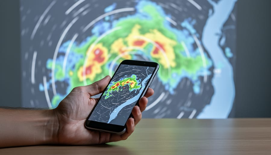
Calgary’s weather radar is your most reliable tool for tracking precipitation, storms, and severe weather as it moves across the city and surrounding areas. The live radar feed updates every few minutes, showing exactly where rain, hail, or snow is falling right now and which direction the system is headed. You can access it instantly through Environment Canada’s weather page or several mobile apps designed for Alberta conditions.
When dark clouds roll in or you hear a storm warning on …