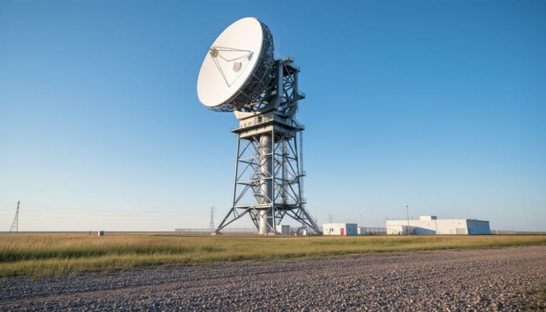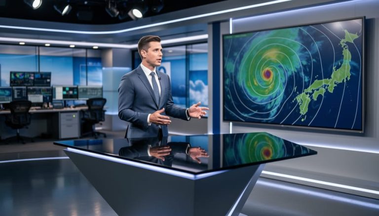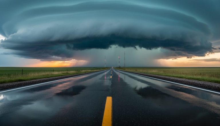
Tracking Quebec City weather from Calgary takes about two minutes once you know which radar platform to use and how to interpret the color-coded precipitation zones. Environment and Climate Change Canada’s interactive weather map is your most reliable tool, offering real-time radar, satellite imagery, lightning strikes, and jet stream data as selectable layers over Quebec’s region. The system updates continuously, letting you monitor storms as they develop across eastern Canada whether you’re planning a business trip, tracking weather that might affect family in Quebec, or just curious about the current conditions 3,000 kilometers away.
The radar shows you three critical pieces of information: where precipitation is falling right now, what type it is (rain, snow, or ice), and which direction the system is moving. That movement history matters more than many travelers realize. A storm cell tracking northeast at 40 kilometers per hour tells you whether tomorrow’s flight might face delays or if your relatives are about to get hit by the same system currently over Montreal.
Reading weather radar isn’t complicated, but it does require understanding what those green, yellow, and red zones actually mean and why a radar image from five minutes ago might look different from the current view. Calgary’s prairie weather moves fast and breaks apart quickly. Quebec systems behave differently, often stalling over the St. Lawrence Valley or intensifying as they pull moisture from the river. Knowing these regional patterns helps you make better decisions about travel timing and packing.
What You’ll Need to Access Quebec City Weather Radar

You don’t need specialized equipment or paid subscriptions to monitor Quebec City weather conditions from Calgary. The tools are straightforward and likely already at your fingertips.
Your primary resource is Environment and Climate Change Canada’s interactive weather map, which provides official radar data for all Canadian regions including Quebec City. This is the most reliable source for tracking precipitation, storm movement, and severe weather across the province. AccuWeather and Zoom Earth offer alternative radar views with different interface styles and additional satellite imagery, giving you multiple perspectives on the same weather systems.
Here’s what you’ll need to get started:
- A computer, tablet, or smartphone with a modern web browser (Chrome, Safari, Firefox, or Edge)
- Stable internet connection for loading radar imagery and real-time updates
- Access to Environment and Climate Change Canada’s weather map for official Canadian radar data
- Optional: AccuWeather or Zoom Earth accounts for alternative radar views and satellite overlays
- Optional: Weather apps like WeatherCAN or The Weather Network for mobile-friendly radar access on the go
Most Calgary travelers find that bookmarking the Environment Canada radar page on their phone works perfectly for quick checks before or during trips. The mobile interface is responsive and doesn’t require downloading anything extra.
If you’re already familiar with tracking storms around southern Alberta, you’ll recognize many of the same tools among the best radar tools used for Quebec monitoring. The main difference is simply adjusting your map view eastward and understanding that Quebec weather patterns behave differently than what we see in the foothills.
No special technical knowledge is required. If you can navigate Google Maps, you can read weather radar effectively enough to make informed travel decisions.
Understanding Weather Radar Basics Before You Start
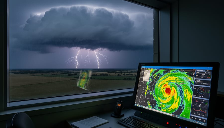
Before you open any Quebec City weather radar map, it helps to understand what you’re actually looking at. Weather radar is a tool for tracking storms in real time and shows the current location of precipitation as well as where it’s been over the past hour or two. Think of it as a moving snapshot of rain, snow, or ice in the sky above Quebec, updated every few minutes.
The key difference between radar and satellite imagery comes down to what each one measures. Radar bounces energy off precipitation particles to detect where rain or snow is falling right now. Satellite images, on the other hand, capture cloud cover from space. They show you the big picture, where cloud systems are forming and moving, but don’t always tell you whether moisture is actually reaching the ground. For planning a same-day trip or tracking an approaching storm, radar gives you the immediate, ground-level detail you need.
When you look at a radar map, colour-coded zones indicate both the intensity and the precipitation type shown. Greens and blues typically signal light to moderate rain, while yellows, oranges, and reds mark heavier downpours or intense snow. Many radar platforms also distinguish between rain, snow, and freezing precipitation, which is crucial if you’re flying into Quebec in winter or driving through changing elevations.
Movement tracking is what makes radar truly useful for travelers. By looping several recent radar frames together, you can see the direction and speed a storm is traveling. If a line of heavy snow is moving southeast toward Quebec City at a steady pace, you can estimate when it might arrive and whether it will still be active when your flight lands. This historical movement, combined with the current snapshot, turns static data into a predictive tool you can act on.
Important Limitations and Data Refresh Considerations
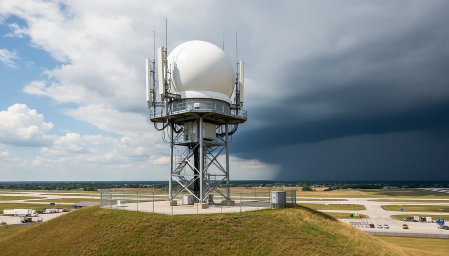
Weather radar is a powerful tool for tracking storms in real time, but it’s not perfect. Before you rely on Quebec City radar to make travel decisions from Calgary, you need to understand what it can and can’t show you.
Radar displays current precipitation location and recent movement, but it doesn’t predict what will happen next. It’s a snapshot of where rain, snow, or ice is now, not a forecast of where it’ll be in three hours when you’re supposed to land. That’s why you should always cross-reference radar images with official forecasts from Environment and Climate Change Canada before finalizing your trip plans.
Most Canadian radar stations refresh every ten minutes, but the image you’re viewing might be slightly delayed depending on the platform. AccuWeather, for instance, uses satellite-generated simulated radar over oceans and some regions, which may not update as frequently as ground-based radar in populated areas like Quebec City. If you’re checking in the morning for an afternoon flight, that fifteen-minute gap between updates can matter.
Radar also has blind spots. It shows precipitation, but it won’t tell you about wind speed, visibility, or freezing rain turning highways into skating rinks. Check additional weather layers through Environment Canada’s interactive map, including satellite imagery, lightning activity, and the jet stream, to get the full picture before you commit to driving from the Calgary airport to catch that connecting flight east.
Step-by-Step: Reading Quebec City Weather Radar
Open the Quebec City Radar Map
Start by opening your web browser and heading to Environment and Climate Change Canada’s official weather site at . This is your most reliable source for Canadian weather data, including Quebec City radar. Once there, click on the interactive weather map option, which lets you access radar information as layers on a user-friendly map interface.
Type “Quebec City” into the search bar or manually navigate to the eastern region of Quebec on the map. You’ll see the city positioned along the St. Lawrence River. Zoom in until you have a clear view of the metropolitan area and surrounding regions where weather systems typically approach from.
Alternatively, you can use AccuWeather’s Quebec weather radar page or Zoom Earth for additional perspectives. These platforms work similarly to Calgary’s live weather radar tools you might already be familiar with. The key is selecting a map view that clearly shows Quebec City and enough surrounding area to track incoming storms from the west, north, or Atlantic coast.
Check Precipitation Type and Movement
Once you’ve got the radar map loaded, look for color-coded zones that tell you what’s falling from the sky. Green typically indicates light rain, yellow and orange show moderate to heavier rainfall, while blue and purple shades often represent snow or mixed precipitation. If you see red on a summer map, expect intense rain; on a winter display, it could signal heavy snowfall or freezing rain.
Pay attention to how these colored patches move across the screen. Most radar interfaces let you scrub through recent frames, usually the last hour or two, which reveals the storm’s path and speed. If you notice precipitation moving steadily northeast, you can estimate when it’ll hit Quebec City or when it’ll clear out. Calgary travelers planning same-day activities should watch for gaps between storm cells, which might offer windows for outdoor plans.
Don’t just glance at one frame. Play the animation a few times to see whether the system is intensifying, weakening, or shifting direction. That movement pattern matters more than a single snapshot, especially if you’re deciding whether to delay a flight or reschedule dinner reservations downtown.
Layer Additional Weather Data
Once you’ve got a handle on precipitation movement, you’ll want to layer in context from other data sets. Environment Canada’s weather map lets you switch between interactive map layers that show radar, satellite, lightning, and the jet stream, all on the same interface. Click the layer icons in the top right corner to toggle them on or off.
Start with the radar layer to see active precipitation, then add satellite imagery to catch cloud coverage that might indicate incoming weather. The lightning layer highlights strike activity in real time, crucial if you’re planning outdoor stops during your Quebec visit. For a bigger-picture view, turn on the jet stream layer to understand high-altitude wind patterns steering storms across the province.
You can stack multiple layers at once, say, radar plus lightning, to get a fuller sense of storm intensity and electrical risk. Just be careful not to overload the screen; if things look cluttered, hide one layer before adding another. This layered approach gives you the same multidimensional read meteorologists use when tracking systems.
Track Updates in Real Time
Storm systems don’t pause for stale data, so refreshing your radar view keeps you ahead of rapidly changing conditions. Environment Canada’s interactive weather map updates automatically at regular intervals, but clicking the refresh button or reloading the page ensures you’re seeing the most current precipitation patterns. Watch the time stamp displayed on the radar image, it tells you exactly when that data was captured, usually within the last few minutes for Canadian stations.
To monitor storm progression, note the radar’s animation feature that loops recent frames together. This loop shows whether a system is intensifying, weakening, or shifting direction as it moves toward Quebec City. If you’re tracking weather several hours before a planned activity, check back every 30 to 60 minutes to spot trends: is that snow band narrowing or widening? Is the heavy precipitation core moving faster than earlier frames suggested?
For Calgary travelers adjusting flight connections or hotel check-ins, real-time monitoring during the hours before departure makes the difference between getting caught off-guard and rescheduling smartly. Cross-reference the radar loop with the forecast’s expected timing, if the radar shows storms arriving two hours earlier than predicted, you’ve got actionable intel to call ahead or delay your drive from the airport.
Verifying Your Radar Reading and Next Steps
Once you’ve tracked storm movement across Quebec City, the next crucial step is confirming what you’ve seen before making any travel decisions. Open Environment and Climate Change Canada’s official forecast page and compare the radar patterns with their short-term predictions. If the radar shows heavy precipitation moving eastward but the forecast calls for clearing skies within an hour, you’ll know whether to delay your departure or proceed with caution.
Cross-reference your radar observations with additional data layers on Environment Canada’s interactive map. Toggle the lightning activity overlay to spot active thunderstorm cells, check the UV index if you’re planning outdoor activities during clear periods, and review the AQHI values to assess air quality. These layers paint a fuller picture than radar alone, especially for Calgary travelers unfamiliar with Quebec’s typical weather patterns. Similar to how we monitor cross-border travel conditions closer to home, combining multiple data sources reduces surprises.
When the radar confirms approaching severe weather, adjust your plans immediately. Postpone outdoor activities if lightning appears within your destination area, delay highway travel if heavy snow bands are tracking along your route, or reschedule flights if thunderstorm cells sit over Jean Lesage International Airport. Apply the same weather safety tips you’d use in southern Alberta: trust the data, don’t push through dangerous conditions, and always have a backup option ready.
Common Questions About Quebec City Weather Radar
How often does the radar update?
Most Canadian weather radar systems refresh every 10 minutes, giving you near-real-time precipitation tracking. However, satellite data for certain regions may not update as frequently, so always check the timestamp on your radar display before making travel decisions.
Can I see weather radar on my phone?
Yes, you can access Quebec City weather radar through mobile-friendly sites like Environment and Climate Change Canada’s weather map or apps from AccuWeather and Zoom Earth. These platforms work on smartphones and tablets, letting you monitor storms while traveling.
What’s the difference between radar and satellite?
Radar shows precipitation already falling and its movement in real time, while satellite imagery displays cloud cover and weather patterns from above. For tracking active storms, radar gives you the most accurate picture of what’s hitting the ground right now.
Is the radar accurate for planning same-day activities?
Radar is excellent for short-term planning because it shows current conditions and recent movement patterns. For same-day decisions, combine radar with the official forecast and check additional layers like lightning activity to get the full safety picture before heading out.
Beyond these common questions, Calgary travelers often wonder which additional weather layers matter most for trip planning. The answer depends on your activity. If you’re concerned about air quality during summer wildfires, check the AQHI index values alongside radar. Winter travelers should layer the jet stream data to understand cold front movements. Those planning outdoor activities need the UV index and lightning activity overlays from Environment Canada’s interactive map.
Remember that radar tells you what’s happening now, not what’s coming tomorrow. Use it as one piece of your weather toolkit, not your only source. Cross-reference what you see on radar with official forecasts, especially when storms are rapidly developing or when you’re making decisions about driving conditions between cities.
Tracking Quebec City weather from Calgary might seem like monitoring someone else’s backyard, but when you’re planning a trip or keeping tabs on conditions affecting family and friends, knowing how to read that radar gives you genuine control over your decisions. You’ve now got the tools to open Environment Canada’s interactive map, identify precipitation types, layer in satellite and lightning data, and interpret what those colorful blobs actually mean for your travel plans.
Before your next Quebec visit, spend a few minutes practicing with the radar during an active weather system back home in southern Alberta. The skills transfer perfectly, and you’ll arrive at your destination already familiar with the patterns you’re seeing.
Got your own weather tracking tips or stories about navigating Quebec storms as a Calgary traveler? Share them with the Calgary Now community. We’d love to hear how radar helped you dodge a downpour or plan the perfect travel window.