Cold Lake’s weather radar station, located at Canadian Forces Base Cold Lake in northeastern Alberta, gives you real-time precipitation and storm tracking data that often signals what southern Alberta can expect 12 to 24 hours later as weather systems push south and east. You can access this radar through Environment Canada’s weather page for Cold Lake, where a dedicated Weather Radar tab shows current conditions alongside standard forecasts. The station sits roughly 300 kilometers north of Calgary, positioned to catch incoming Pacific systems and Arctic fronts before they reach the populated corridor.
Why does a northern Alberta radar matter to us down south? Cold Lake’s location makes it an early warning system. When radar shows heavy precipitation bands or severe storm cells moving through that region, meteorologists can predict timing and intensity for Edmonton, Red Deer, and eventually Calgary with greater accuracy. The station has recently seen infrastructure upgrades, including tower modifications and equipment servicing, ensuring the data stream remains reliable for forecasters tracking everything from summer thunderstorms to winter blizzards across the province. Whether you’re planning a weekend trip or just want to know if that system up north will dump snow on your Monday commute, Cold Lake’s radar provides the upstream view that complements our local coverage.
What Makes Cold Lake’s Weather Radar Special
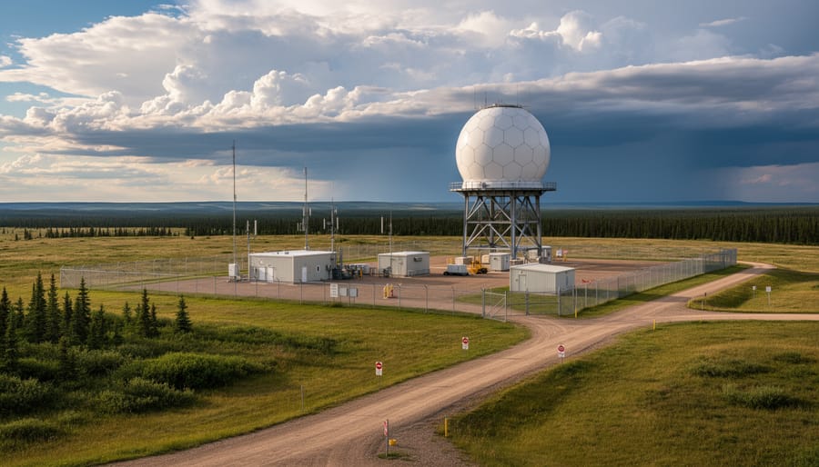
Cold Lake sits in northeastern Alberta, roughly 300 kilometers northeast of Edmonton, where the boreal forest meets the prairies. This geography puts it in a sweet spot for weather monitoring, far enough north to catch systems moving down from the Arctic, yet positioned to track storms before they sweep across central Alberta. CFB Cold Lake, Canada’s largest air force base, hosts the weather observation equipment that feeds data into Environment and Climate Change Canada’s national network.
The radar station at Cold Lake isn’t just another dot on the map. It fills a critical gap in coverage across a vast stretch of northeastern Alberta and western Saskatchewan, an area where weather can change quickly and dramatically. The Cold Lake radar listing shows how this site extends monitoring reach into regions that would otherwise have limited real-time surveillance. Without it, forecasters would lose visibility over hundreds of thousands of square kilometers, bad news when you’re trying to predict severe thunderstorms or track winter blizzards.
What makes this site particularly valuable is its military connection. CFB Cold Lake maintains year-round operations with trained personnel and backup systems that ensure continuous data flow. The base’s aviation operations depend on accurate weather information, which means the equipment gets priority attention and regular maintenance. Recent tender opportunities for tower modifications and indicator service upgrades show that investment continues, keeping the technology current and reliable for both military operations and civilian weather forecasting across western Canada.
How Cold Lake Weather Radar Serves Southern Alberta
You might wonder why a radar station hundreds of kilometers northeast matters when you’re checking Calgary’s weekend forecast or Lethbridge’s harvest outlook. Weather systems don’t respect municipal boundaries, and Cold Lake’s position fills a critical gap in Alberta’s meteorological puzzle.
Storm systems often track across the prairies from the northeast, sweeping down through central Alberta before reaching southern communities. Cold Lake’s radar catches these systems early, giving forecasters crucial lead time to predict when precipitation will hit population centers further south. When a low-pressure system develops over Saskatchewan and starts moving west, Cold Lake data helps meteorologists gauge its intensity, speed, and moisture content before it reaches Medicine Hat or Red Deer.
The Canadian radar visibility maps show how multiple stations work together to create comprehensive coverage across the province. No single radar sees everything, terrain blocks signals, and atmospheric conditions create blind spots. Cold Lake fills in northeastern coverage that complements stations at Calgary, Strathmore, and Carvel, creating overlapping fields that give forecasters a complete three-dimensional picture of developing weather.
This network approach proves especially valuable during severe weather season. A supercell forming near the Alberta-Saskatchewan border appears on Cold Lake’s screens long before southern stations pick it up. That extra thirty to sixty minutes lets Environment Canada issue timely warnings for communities in its projected path. During winter, the station tracks Alberta Clippers and Colorado Lows as they organize, helping predict whether southern regions will see rain, freezing rain, or heavy snow.
Finding and Using Cold Lake Radar Data
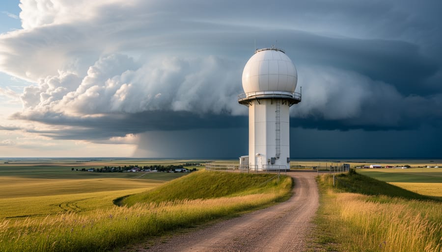
Reading the Radar Display
When you pull up a live weather radar display for Cold Lake, you’ll see a color-coded map showing precipitation intensity. Green typically indicates light rain or drizzle, while yellows and oranges mean moderate to heavy rain. When the display shifts to reds and purples, you’re looking at intense precipitation, potentially severe thunderstorms or heavy snowfall depending on the season.
The patterns matter as much as the colors. A solid blob of green moving steadily across the map suggests widespread light rain, while isolated pockets of red indicate concentrated cells that could bring localized downpours. Watch for hook-shaped echoes or rapidly expanding rings, which can signal rotation or intensifying storms.
Most radar tools let you animate the last few hours of data, showing storm direction and speed. Radar visibility maps explain coverage zones, helping you understand whether you’re seeing the full picture or just the edge of a system. If precipitation suddenly disappears from view, it might have moved beyond the radar’s range rather than dissipating entirely.
Recent Equipment Updates and Improvements
Behind the radar maps and weather apps you check every day lies essential infrastructure that requires constant maintenance and upgrading. Cold Lake’s weather radar station is currently undergoing significant equipment improvements through government tender opportunities, signaling renewed investment in this northeastern Alberta monitoring site.
Recent CanadaBuys listings reveal multiple infrastructure projects at Cold Lake’s radar facility. Tower modification contracts have been posted, addressing the structural components that support radar equipment high above ground level. These modifications ensure the tower can continue safely supporting sensitive weather monitoring instruments while meeting current engineering standards.
Separately, tender opportunities for weather radar indicator service upgrades have appeared in procurement listings. These indicator systems are crucial for translating raw radar signals into the readable displays meteorologists and automated systems use for forecasting. Upgrading these components means faster data processing and more accurate real-time weather visualization.
What do these improvements mean for everyday users? Better data quality translates to more precise storm tracking, improved precipitation estimates, and enhanced ability to detect severe weather systems as they develop. When radar equipment runs on modern, well-maintained infrastructure, forecasters can spot weather changes earlier and with greater confidence.
The timing of these upgrades is particularly meaningful. Rather than letting equipment age until failure, proactive maintenance keeps the Cold Lake station operating reliably year-round. For communities across Alberta who depend on accurate weather information for safety planning, agricultural decisions, and daily activities, these behind-the-scenes investments directly impact the quality of forecasts you receive.
When Cold Lake Radar Data Matters Most
Cold Lake’s radar becomes your go-ahead signal when severe weather threatens northeastern Alberta and you need to know exactly what’s coming. During summer thunderstorm season, this station catches developing storm cells before they barrel across the prairies toward population centers. Farmers and ranchers watching their crops or livestock rely on Cold Lake’s readings to decide whether to move equipment under cover or postpone field work, those decisions often hinge on real-time radar that shows storm intensity and direction.
Winter transforms the radar’s role entirely. When blizzards sweep down from the north, Cold Lake captures the leading edge of snow systems hours before they reach communities farther south. Highway travelers checking conditions between Edmonton and Saskatchewan border crossings depend on this data to judge whether roads will deteriorate rapidly or if they’ve got a safe window to travel.
The station’s strategic value really shines when you layer its coverage with other Alberta radar sites and even cross-border radar from neighboring regions. Together, they create a complete picture of weather systems moving through the province. While Calgary or Edmonton stations track southern disturbances, Cold Lake watches the northern approaches, filling gaps that matter when you’re planning outdoor work, travel, or simply deciding whether tomorrow’s event needs a backup plan. That complementary coverage makes all the difference when weather doesn’t follow predictable patterns.
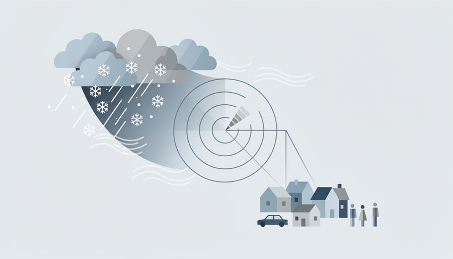
Cold Lake’s weather radar quietly does the heavy lifting for communities across Alberta, feeding critical data into the forecasts we check before heading out the door. Whether you’re planning a weekend camping trip, managing farm operations, or just deciding if you need an umbrella, this northeastern station contributes to the reliable weather information that helps keep us safe and prepared.
The ongoing equipment upgrades at Cold Lake show the commitment to maintaining top-quality radar coverage for our province. Better data means better forecasts, which translates directly to smarter decisions for families, businesses, and emergency services throughout Alberta.
Make it a habit to check the Weather Radar tab on your forecast page, it’s one of those tools you don’t think about until you really need it. And if you’ve got stories about how weather radar has helped you dodge a storm or plan around Alberta’s unpredictable skies, we’d love to hear them. Drop a comment below or call in during our next weather segment on Calgary Now. Your real-world experiences help everyone understand why these radar stations matter so much to our daily lives.