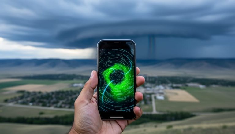
Weather radar for Grande Prairie is available through Environment and Climate Change Canada’s national network, giving you real-time precipitation tracking and storm movement data within seconds of opening their online radar map. The Canadian weather radar system covers Grande Prairie and the Peace Region with Doppler technology that reaches out 240 kilometers, letting you see exactly where rain, snow, or severe weather is heading and how quickly it’s moving.
For most people checking the radar, the process is simple. You visit Environment and Climate Change Canada’s Weather Information site, search for Grande Prairie, and view the animated radar loop showing the last few hours of weather activity. The system requires JavaScript enabled in your browser, though you can also navigate using the location finder or a regional table if you prefer. The national network consists of 33 radars positioned across Canada’s most populated regions, designed with overlapping coverage so that if one station goes offline, neighboring radars fill the gap.
What makes this tool valuable isn’t just seeing current conditions. You get access to historical radar data through the climate archives, tropical storm tracking when systems move north, lightning activity maps, and air quality readings. That combination helps you make quick decisions about outdoor plans, commute timing, or whether you need to secure equipment before a storm rolls through.
The radar updates continuously throughout the day, showing precipitation intensity through color coding and letting you track storm cells as they develop. Whether you’re planning a weekend at the lake or managing a work site, having that visual confirmation of approaching weather gives you the lead time to respond.
Accessing Grande Prairie Weather Radar Data
Getting to Grande Prairie’s weather radar data takes just a few clicks if you know where to look. Environment and Climate Change Canada hosts all Canadian weather radar information on its Weather Information site, and the entire service is free for anyone to use.
Here’s how to access the radar for your area:
- Navigate to Environment and Climate Change Canada’s Weather Information website through your browser
- Look for the Canadian weather radar option in the main navigation or weather tools section
- Enable JavaScript in your browser if you haven’t already, the interactive map won’t load without it
- Use the ‘Find a location’ search feature to enter “Grande Prairie” and zoom directly to your area
- Click on the map to interact with the radar display and access precipitation data for the region
If you’re running into technical issues or prefer not to enable JavaScript, the site offers a table-based alternative below the main map interface. This fallback option lists radar stations by region, letting you select northern Alberta coverage without needing interactive features.
The radar interface itself is straightforward once you’ve loaded it. You’ll see a color-coded map showing precipitation intensity across the coverage area, with Grande Prairie sitting well within the 240-kilometre detection radius. The map updates regularly throughout the day, giving you current conditions rather than outdated snapshots.
For mobile users, the same site works on phones and tablets, though the interface adjusts for smaller screens. The functionality remains identical, you can still search for Grande Prairie, view the radar loop, and check precipitation patterns while you’re away from a desktop. The site doesn’t require downloading an app, which means you can access it from any device with a browser and internet connection.
Bookmark the radar page after your first visit. When weather systems move through the Peace Country, you’ll want quick access without searching through multiple government pages each time.
What the Radar Shows You
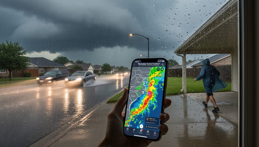
When you pull up the radar image for Grande Prairie, you’re looking at real-time snapshots of precipitation across northern Alberta. The system tracks rain, snow, and mixed precipitation as it moves through the region, giving you a visual map of where weather is happening right now. Different colors indicate intensity levels, lighter blues typically show drizzle or light rain, while greens, yellows, and reds mark progressively heavier precipitation. This color-coding helps you gauge whether you’re dealing with a passing shower or a significant storm system.
The radar doesn’t just show static conditions. By watching successive images refresh, you can see which direction storms are traveling and how fast they’re moving. This movement tracking proves particularly useful when severe weather threatens the Peace Country region, letting you estimate when conditions might arrive in your area or whether that thunderstorm cell is headed your way or veering off. The radar displays both type and intensity of precipitation helping you distinguish between rain that might cause commuting delays and lighter conditions that won’t disrupt your schedule.
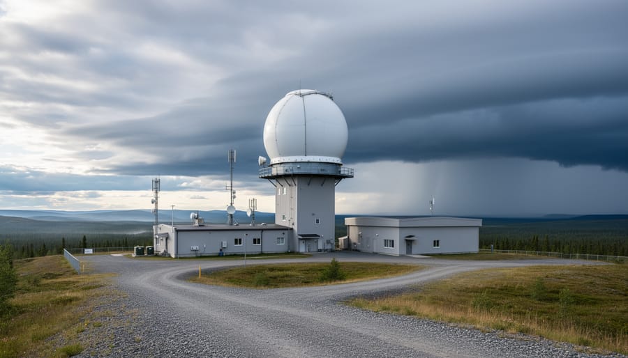
Canada’s Doppler radar technology measures precipitation within a maximum coverage range of 240 km from each station. For Grande Prairie residents, this 240-kilometer radius means comprehensive monitoring of the entire municipal district and surrounding areas, including Highway 43 corridors and rural communities throughout the region. The coverage extends well beyond city limits, so whether you’re in town or heading to rural properties, the radar captures relevant weather activity.
This coverage matters when you need to plan your trip around changing conditions. The wide monitoring area means you can check weather along your entire route, not just your immediate location.
Understanding Radar Coverage in Northern Alberta
Grande Prairie sits within a national network designed specifically to avoid blind spots. Canada’s 33-radar system uses intentional overlap to ensure that if one radar temporarily goes offline for maintenance or technical issues, neighbouring stations can fill the coverage gap. This coverage designed to overlap means you’ll rarely lose access to weather data for the Peace Country region, even during service interruptions.
Each radar provides full Doppler coverage extending 240 kilometres in all directions. For Grande Prairie, that radius captures weather systems approaching from any direction, whether they’re moving northeast from the Rockies or sweeping southeast across the Peace River valley. The Doppler technology doesn’t just show where precipitation is falling, it measures how fast storm cells are moving and whether they’re intensifying or weakening as they approach your area.
When multiple radars cover the same region, Environment and Climate Change Canada’s system automatically integrates the data to give you the clearest picture. This redundancy matters most during severe weather, when you need reliable information to make quick decisions about outdoor plans or travel routes. If a nearby radar goes down temporarily, you won’t see a sudden gap on your map; the system seamlessly switches to neighbouring radar feeds.
For Grande Prairie residents tracking weather patterns through the Peace Country, this network design means consistent access to real-time data throughout the year. The overlapping coverage particularly helps during winter storms and summer convective systems that can develop rapidly across northern Alberta’s varied terrain.
Beyond the Radar: Additional Weather Tools
The radar page you’re already using offers much more than precipitation tracking. Environment and Climate Change Canada bundles tropical storm tracking, lightning, UV and AQHI data into the same interface, so you don’t need to bounce between sites when conditions change.
Lightning activity monitoring proves especially valuable during Grande Prairie’s summer storm season. Real-time strike data helps you decide whether to postpone yard work or delay a hike, since you can see exactly where electrical activity is happening relative to your location. The UV index becomes critical from late spring through early autumn when northern Alberta sees long daylight hours, fifteen hours of sun in June means serious exposure risk even at higher latitudes.
The Air Quality Health Index deserves attention throughout the year. Winter inversions can trap vehicle and heating emissions in the Peace River valley, while summer often brings wildfire smoke from British Columbia or the Northwest Territories. AQHI readings tell you when to limit outdoor exercise or keep vulnerable family members indoors, a concern that affects fuel prices and daily routines alike during poor air quality episodes.
Tropical storm tracking matters less for Grande Prairie than coastal regions, but the tool stays accessible if you’re planning travel or following weather systems that could influence broader North American patterns.
Checking Historical Radar Data
Environment and Climate Change Canada’s climate site offers historical radar access that lets you view past radar images from the Grande Prairie area. You’ll find this tool particularly useful after a storm passes, maybe you want to confirm exactly when that downpour hit your neighbourhood, or you’re curious whether the radar showed the hail system before it reached your property. Simply visit the climate site, select the radar location covering Grande Prairie, and choose your date and time window.
This feature becomes invaluable when you’re tracking seasonal patterns. If you’re a farmer planning seeding schedules, comparing radar loops from previous springs shows how often late-season snow or rain systems move through the Peace Country during April and May. Homeowners who’ve experienced basement flooding can pull up historical data to see how long heavy precipitation lasted and whether multiple cells stacked up over the same area.
The archive also helps settle those “I’m sure it didn’t rain that much” conversations. Pull up the radar from the day in question, watch the loop, and you’ll see exactly what intensity and duration the system brought to your area.
Common Questions About Grande Prairie Weather Radar
How current is the radar data?
The Canadian weather radar network updates continuously, though the exact refresh rate isn’t publicly specified by Environment and Climate Change Canada. When you view the radar image, you’re seeing near-real-time conditions rather than delayed forecasts.
What do the different colors on the radar mean?
The color scale represents precipitation intensity, with greens typically showing light rain or snow, yellows and oranges indicating moderate precipitation, and reds marking heavy rainfall or severe weather. The specific color legend appears alongside the radar display to help you interpret what you’re seeing.
What should I do if the Grande Prairie radar appears offline?
Environment and Climate Change Canada’s network is designed with overlapping coverage, so neighbouring radars automatically fill gaps during outages. You’ll still see precipitation data for the Grande Prairie area, just pulled from adjacent stations in the network.
Can I access the radar on my phone?
Yes, the Environment and Climate Change Canada weather radar site works on mobile devices. You’ll need JavaScript enabled in your browser, or you can use the “Find a location” feature as an alternative if you’re having display issues.
Beyond these common questions, it’s worth knowing that the 240 km coverage radius means you can track weather systems well before they reach Grande Prairie. If you see a storm front approaching from the west or south on the radar, you’ve got advance warning to prepare. The overlapping network design ensures you won’t lose visibility even during maintenance periods or technical issues with individual stations.
Some users wonder about the difference between what they see on commercial weather apps versus the government radar. The Environment and Climate Change Canada platform gives you the raw radar data without interpretation or prediction layers, which means you’re seeing exactly what the technology detects rather than a forecast model. That makes it particularly valuable when you need to know what’s happening right now rather than what might happen later.
Environment and Climate Change Canada’s radar network gives you free, real-time weather data for Grande Prairie whenever you need it. Bookmark the radar page so you’ve got quick access during storm season, and check back with Calgary Now for weather updates and analysis that matter to northern Alberta. We’d love to hear how you use the radar, whether you’re tracking thunderstorms rolling in from the west or planning your day around precipitation patterns, share your experiences with our community and let’s talk about the weather systems that shape life in the Peace Country.