Tracking severe weather in Spruce Grove starts with accessing real-time radar from Environment and Climate Change Canada or, both of which provide local radar coverage for your area. Within minutes, you can pull up interactive radar imagery on your phone or computer, watch storms develop across the Parkland region, and check whether that dark cloud on the horizon means you need to move the barbecue inside or grab the kids from the backyard.
Spruce Grove sits just west of Edmonton, where prairie weather systems can shift quickly. Summer thunderstorms roll in from the west with little warning, winter Alberta Clippers bring sudden snow squalls, and spring brings the risk of severe weather including hail and high winds. Understanding how to read radar imagery gives you a significant advantage over simply checking the forecast, because radar shows you what’s happening right now, not what meteorologists predicted six hours ago.
The WeatherCAN App puts Environment Canada’s radar and alerts directly on your mobile device, offering real-time updates when conditions change. Meanwhile, provides interactive radar specifically for the T7X postal code area, letting you zoom in on your neighbourhood or pull back to see the bigger weather picture across Alberta. Both platforms integrate severe weather alerts, displaying active warnings in an easy-to-scan format so you’re never caught off guard when conditions turn dangerous. Learning to interpret these tools takes about ten minutes, but the payoff lasts a lifetime.
What You’ll Need to Access Spruce Grove Weather Radar
Tracking weather radar for Spruce Grove doesn’t require special equipment or technical training. You likely have everything you need already at home or in your pocket. The real barrier isn’t gear, it’s knowing where to look and what you’re looking at once you get there.
Here’s what you’ll need:
- A device with internet access: computer, smartphone, or tablet
- A web browser for accessing Environment and Climate Change Canada’s radar site
- The WeatherCAN App (optional but recommended for mobile alerts and real-time updates)
- Bookmarked radar pages for quick access during storms (you can set these up in minutes)
That’s it. No subscription fees, no specialized software downloads, no meteorology degree. The WeatherCAN App makes ECCC forecasts and alerts available on mobile devices through real-time weather, which means you can check conditions from anywhere, your living room, your car, or while you’re out running errands.
The only real prerequisite is a basic comfort with using online maps and understanding that different colors on radar imagery represent different precipitation intensities. If you can navigate Google Maps, you can navigate weather radar. We’ll walk through what those colors mean in a later section, so you’ll know exactly what you’re seeing when a storm cell appears over Spruce Grove.
Understanding Severe Weather Alerts Before You Start
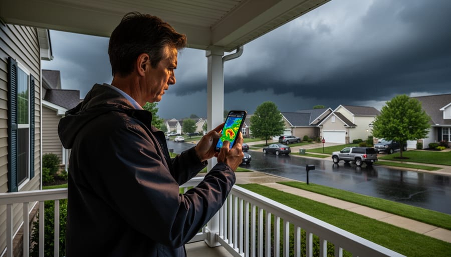
Before you dive into the radar tools, it’s worth understanding why this matters and how alerts work alongside radar imagery. Southern Alberta sees its share of severe weather, sudden thunderstorms, hail, and tornadoes can develop quickly during spring and summer months. Radar gives you a visual snapshot of what’s happening right now, helping you spot storms as they approach Spruce Grove and decide whether to adjust your plans or seek shelter.
Canada’s alert system provides the official word on severe weather threats. Environment and Climate Change Canada issues watches and warnings when conditions become dangerous, and these alerts integrate directly with the radar tools you’ll be using. The alert table displays all active alerts for Canada and can be viewed by province or territory, giving you a quick text-based overview of what’s happening across Alberta. You’ll also find this information layered onto the interactive map, so you can see both the radar imagery and any active alerts for your area in one place.
The WeatherCAN App brings these forecasts and alerts to your phone through real-time updates, which means you can receive notifications even when you’re not actively checking radar. Think of it this way: alerts tell you when to pay attention, and radar shows you where the storm is and where it’s headed. Together, they give you the complete picture you need to stay safe.
Step-by-Step: Accessing Spruce Grove Weather Radar
Using the Interactive Map and Weather Layers
Start at Environment and Climate Change Canada’s weather page, where you’ll find an interactive map of Canada with your local area front and centre. At the top of the screen, you’ll see layer controls that let you select radar and satellite layers by clicking checkboxes or toggles. Turn on the radar layer to see live precipitation data overlaid on the map, this is what allows you to track storms with radar as they move through Alberta.
Use your mouse or touchscreen to zoom into the Spruce Grove area, which sits just northwest of Edmonton. You can pan the map by clicking and dragging, or pinch to zoom on mobile devices. Once you’re focused on Spruce Grove, the radar colors will show precipitation intensity in your immediate area: lighter greens indicate light rain or snow, yellows and oranges show moderate precipitation, and reds signal heavy downpours or severe conditions. The satellite layer, when activated alongside radar, gives you cloud cover context, helpful for spotting storm systems before they produce precipitation. The map refreshes automatically, so you’ll see storms shift position every few minutes without needing to reload the page.
Checking the Alert Table for Active Warnings
Below the interactive radar map, Environment and Climate Change Canada offers an alert table that gives you a text-based snapshot of all active weather warnings across Canada. This is particularly useful if you want to quickly scan for alerts affecting Alberta without clicking through map layers.
To access it, scroll down on the same page where you found the radar. The alert table sits just below the main map interface. You can filter the view by province, select Alberta to see only warnings relevant to your region, including any severe weather impacting Spruce Grove and surrounding areas.
The table layout is straightforward. Each row shows an active alert with the type of warning (thunderstorm watch, tornado warning, severe weather statement), the affected area, and when it was issued. Colour coding helps you spot high-priority warnings at a glance. Red typically indicates the most urgent alerts like tornado or severe thunderstorm warnings, while yellow shows watches or less critical advisories.
This text format complements the visual radar perfectly. While the radar shows you where precipitation is happening right now, the alert table tells you what official warnings meteorologists have issued and which communities face imminent severe weather. Together, they give you both the big picture and the specific guidance you need to stay safe.
Finding Local Radar and Satellite Imagery
Once you’ve opened the interactive map, it’s time to zero in on Spruce Grove specifically. In the map’s search bar or zoom controls, enter “Spruce Grove” or the postal code “T7X” to center the display on your area. The radar layer will now show precipitation and storm activity directly over your community and the surrounding region. You’ll see color-coded areas indicating where rain, snow, or severe weather is currently occurring, greens for lighter precipitation, yellows and oranges for moderate intensity, and reds for heavy downpours or possible severe conditions.
Watch how these colored patches move across the map; the animation shows storm direction and speed, helping you anticipate when weather will arrive or clear out. Satellite imagery, available as a separate layer, provides a broader cloud-cover view that complements the radar’s precipitation focus. If you prefer an alternative interface, also offers interactive radar for Spruce Grove, simply search “Spruce Grove, Alberta” on their site to access similar real-time tracking tools with a different visual presentation.
Using the WeatherCAN App for Mobile Tracking
The WeatherCAN app provides alerts directly from Environment and Climate Change Canada on your smartphone, making it ideal for tracking Spruce Grove weather when you’re away from a computer. Download it free from the Apple App Store or Google Play Store, then open the app and search for Spruce Grove or enter your postal code (T7X area). The home screen shows current conditions, hourly forecasts, and radar imagery you can zoom and pan with your fingertips. Tap the three-line menu icon, select Notifications, and turn on severe weather alerts for your location, you’ll get push notifications the moment ECCC issues warnings so you’re never caught off guard during storms or commutes. The app refreshes automatically when you open it, giving you real-time precipitation data without hunting through bookmarks.
Reading and Interpreting Radar Imagery
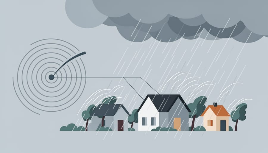
Once you’ve pulled up the radar, you’ll see a color-coded display that shows precipitation intensity across the region. Green typically indicates light rain or drizzle, steady but not alarming. Yellow marks moderate precipitation, the kind that might prompt you to grab an umbrella or slow down on the highway. Orange and red signal heavy rain or snow, often associated with thunderstorms or downpours that can reduce visibility and create hazardous driving conditions. Bright red or magenta areas deserve immediate attention, as they represent intense precipitation cores where severe weather is most likely.
Movement matters as much as color. Watch how the patterns shift across the screen with each refresh. If a red cell is tracking northeast toward Spruce Grove, you’ve got time to prepare. If it’s already overhead, you’re experiencing the heaviest rain right now. The best weather radar tools often include animation features that loop recent frames, making storm direction and speed easier to judge.
For severe weather, look for hook echoes, curved appendages on a storm cell that can indicate rotation and possible tornado development. Tight gradients where colors shift abruptly from green to red suggest strong winds or hail. The lightning map for storms can add another layer of context when thunderstorms are present.
Compare what you see on radar with what’s happening outside your window. If the screen shows a red band passing over Spruce Grove and you hear thunder, you’ve verified the radar is accurate and current. This practice builds confidence. The Sherwood Park radar tracker uses the same Environment Canada system, so understanding the basics here translates across southern Alberta.
Verifying Your Setup and Next Steps
Once you’ve set up your weather radar access, take a few minutes to confirm everything’s working properly. Start by verifying your location on the radar display, zoom in on Environment and Climate Change Canada’s interactive map to make sure the T7X postal code area (Spruce Grove) sits centered on your screen. If you’re using ‘s interactive radar, search “Spruce Grove, T7X” and double-check that the map focuses on your neighborhood, not another community with a similar name.
Test the radar refresh function by noting the timestamp on the imagery, waiting a few minutes, then refreshing your browser or app. The timestamp should update to reflect new data, typically every ten minutes during active weather. If you’ve enabled notifications in the WeatherCAN App, send yourself a test alert by checking your notification settings and confirming push alerts are turned on for severe weather warnings in Alberta.
Bookmark the pages you’ll need most: the ECCC interactive map, the alert table for Alberta, and ‘s Spruce Grove radar page. Store these links where you can reach them quickly, home screen shortcuts on your phone, browser favorites, or a dedicated weather folder. Run through the full process on a clear day when there’s no pressure. Click through each layer, watch how the radar updates, and get comfortable with the interface before you actually need it during severe conditions.
Building this routine now means you won’t fumble with unfamiliar tools when storms roll in. And don’t forget, Calgary Now’s weather coverage and our radio presenters offer valuable local context that complements the radar data. They can explain what patterns mean for your specific area and keep you connected to what’s happening across southern Alberta.
Common Questions About Spruce Grove Weather Radar
How often does the radar update?
Environment and Climate Change Canada’s radar refreshes every 10 minutes with new imagery, so you’re seeing near real-time conditions. During active storms, check back frequently to track movement and intensity changes as they develop.
Can I still access radar during a power outage?
Yes, if you have mobile data. The WeatherCAN App and mobile-friendly radar sites work on cellular networks, so you can track storms even when your home internet is down, just keep your phone charged.
What’s the difference between radar and satellite imagery?
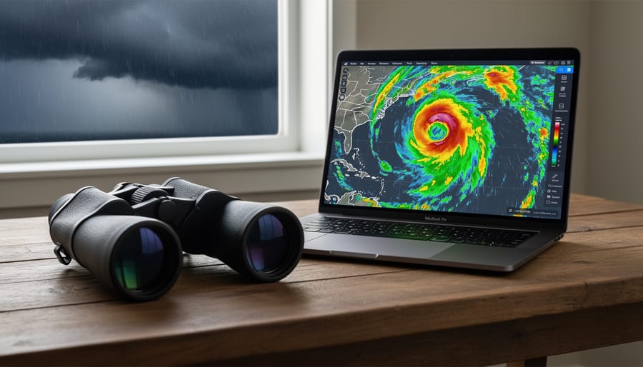
Radar detects precipitation already falling, rain, snow, hail, and shows intensity in real time. Satellite imagery captures cloud cover from space, helpful for spotting systems approaching before precipitation starts. Both are available as layers on the interactive map.
Is this service free to use?
Completely free. Environment and Climate Change Canada provides all radar, satellite, and alert information at no cost, and the WeatherCAN App is free to download with no subscription fees.
One question that comes up often: can you see tornadoes on radar? Not directly. Radar shows rotation patterns and hook echoes that trained meteorologists recognize as tornado signatures, but the funnel cloud itself doesn’t appear as a distinct shape on standard imagery. That’s why official warnings matter, Environment Canada issues tornado warnings when conditions support formation, even if the tornado hasn’t touched down yet. Treat warnings as your cue to take shelter immediately, and use radar to understand the broader storm context and track where it’s headed next.
If you’re wondering about data usage on mobile, radar images are relatively light, checking a few times during a storm won’t blow through your monthly allowance. The WeatherCAN App is designed for efficiency, and even repeated refreshes during severe weather typically use less data than streaming a single song. That said, downloading the app and bookmarking key pages while you’re on WiFi makes sense, so everything loads faster when you need it most.